
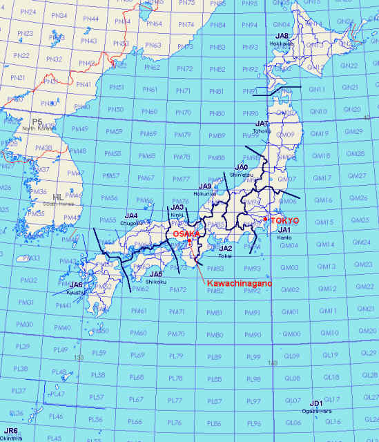
The original map above is quated from Homepage of JF9EXF
Japan consists of a chain of islands, extending 3,000km from North to South, which is at latitude from 45.5 degrees north to 20.5 degrees north. Total of 128 million people live in Japan, as of March 2007. Japanese archipelago is composed of some 6,800 islands with an overall land area of 380,000 square kilometres, including four main islands of Hokkaido, Honshu (Main island), Shikoku and Kyushu. Japan has a large number of volcanoes and is hit frequently by Earthquakes due to volcanic activity. You may have an exciting experience that the solid ground shakes, and can enjoy yourself by bathing in various hot springs. Mountainous regions, where are mostly covered with forests, make up 70 per cent of Japan’s land. Much of the remaining 30 per cent are fertile plain where farmers grow rice and other crops. A large portion of the population lives in the plains. In particular industrial areas along the Pacific coast are densely populated. Most parts of Japan are located in the temperate zone, marked by clearly defined four seasons and wide differences in temperature among areas of different latitudes. The average annual temperature ranges from l0 to 18 degrees Celsius. Japan is abundantly blessed with nature and is home to a large variety of animals and plants. In the Sea of Okhotsk, north of Hokkaido, you can see herds of seals on drifting ice. On the other hand in the southernmost prefecture of Okinawa, you may find many tropical fishes in coral reeves.